Executive Summary
The development of the Sensitivity Atlas was necessitated by the number of developments that are taking place or proposed in the Queen Elizabeth Protected Area (QEPA), including those related to petroleum, mining, geothermal, roads and electricity transmission lines. The atlas will be a tool to enable developers operating in the Protected Area (PA), to be able to avoid or minimize destruction of ecologically sensitive areas in the park. The atlas will also help managers focus their efforts in case there is a negative impact from the developments in the park and to provide timely and appropriate response and clean-up strategies. The atlas identifies sensitive areas that investors need to be aware of and avoid if possible. The atlas is arranged into five chapters.
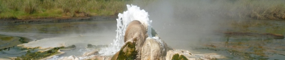
Chapter 1 provides the background of QEPA highlighting the attributes within the PA which make it important for conservation. It gives the general background of petroleum exploration and other developments in Uganda and in the park, and provides an insight of future petroleum and hydropower developments. The chapter highlights the conservation values and developments in QEPA. It further elaborates the need for the sensitivity atlas, objectives and processes the team went through to develop this atlas.
Chapter 2 deals with the biological, physical and socio-economic environments. It gives information on the biological environment, including flora and fauna. The physical environment includes climate factors (rainfall and temperature), geology and soils, drainage, and topography. It further provides information on the socio-economic environment in terms of tourism (tourist visitations, revenue, facilities and attractions) and explores the socio-economic setup and activities in and around the park.
Chapter 3 is concerned with the status and distribution of the biological and physical components in QEPA. These components include Lake George Wetland Ramsar Site, land cover and land cover change, distribution of key large mammal species and location of the critical areas for wildlife survival. The critical areas of animal survival include watering points, shoreline, kobleks, fisheries distribution in lakes of QEPA and areas of animal congregation.
Chapter 4 deals with vulnerability and sensitivity of the ecosystem to development. It presents different ecosystem components ranked based on drivers of change resulting from developments to determine the level of sensitivity. The drivers of change affect the animal species differently. For example, human and vehicular traffic and light pollution affect the breeding patterns of fish, crocodiles and other wildlife. Dust from development and increased tourism may contribute to water contamination. Infrastructure development affects the physical features through habitat degradation and erosion which may increase siltation of water bodies. Human influx into the PA brings encroachment pressure on resources and land. The introduction and spread of invasive or non-native vegetation leads to ecological imbalance affecting ecosystem health. Exposure to contaminants affects all species because it affects water, soil, vegetation and air.
Also in this chapter, the sensitivity and vulnerability of different ecosystems, animal species distribution in terms of species abundance and richness were analyzed. The animal species abundance was derived from animal sighting point data over 10 years, collected through a “Ranger-based” monitoring system. The animal species richness is the number of different species represented in a particular area in QEPA. The biological components sensitivity was a combination of animal species abundance, animal species richness, ecosystem sensitivity and bird species richness. In the ranking of biological components, it came out clearly that the most affected animals are land-based, compared to fish and birds. However, if development occurs in aquatic ecosystems, then fish will equally be affected. Due to lack of plant species data, the biological component analysis did not include plants. The sensitivity of the critical areas of animal survival was a combination of the watering points’ distribution, kobleks distribution, and areas of animal congregation points, fish breeding grounds locations and shoreline. As these areas are critical to survival, any change in their conditions affect the animals’ survival.

In chapter four, a vulnerability index model was carried out. The model integrated the following input data: accessibility (roads, trails), settlements, population, elevation, slope, and land cover. These factors are defined as the risk factors that tend to expose a sensitive area to external pressure factors. High vulnerability rates are indicated all the way from Kasenyi through Mweya safari lodge, and from Kasenyi to Rwenshama area. According to the wildlife distribution, these areas have high concentrations of wildlife and most the critical areas for animal survival. The overall sensitivity map of QEPA considered biological, physical and socio-economic environments during the modeling.
Finally, Chapter 5 presents conclusions and recommendations, giving conclusions based on the sensitivity analysis outcomes. The areas identified in the map as sensitivity and vulnerable to development should be avoided during developments wherever possible. If not, serious mitigation measures should be considered including provision of alternative use areas and offsets. For any development to take place in QEPA, all critical areas for wildlife survival, such as watering points, kobleks, areas of wildlife aggregation points, shorelines and fish breeding grounds should be identified and avoided.
Full Report: Queen Elizabeth PA Environmental Sensitivity Atlas